Hiking
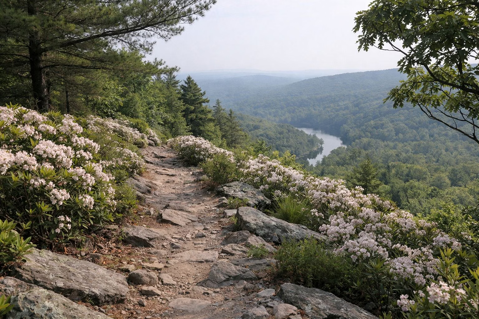
Pine Grove Furnace State Park has about 4 miles of trails, most of them short and easy, and it is a trailhead for longer hikes into the surrounding Michaux State Forest. The best-known hikes are the Appalachian Trail, which crosses the park for 1.4 miles, the flat 3-mile Hiker Biker Trail and the short but steep 0.75-mile climb to Pole Steeple Overlook.
Hiking at a Glance
Park Trails, Easiest First
- Hiker Biker Trail: 3.0 miles, easiest, out-and-back, no blazes. ADA accessible, part paved and part gravel, from the Furnace Stack past Fuller Lake to Laurel Lake.
- Appalachian Trail: 1.4 miles in the park, easiest in the park, point-to-point, white blazes. Restrooms, water and picnic tables at the trailhead.
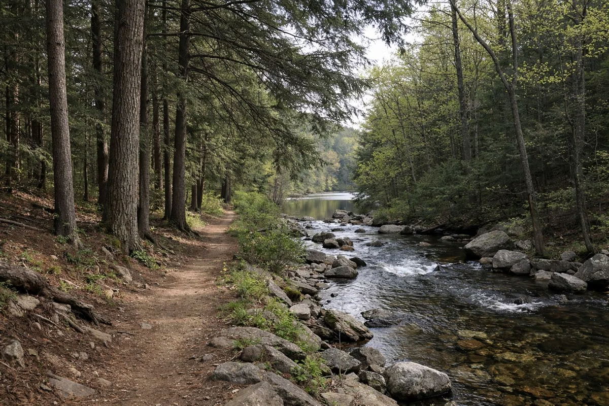
- Mountain Creek Trail: 1.4 miles, easiest, out-and-back. Follows Mountain Creek through forest and wetland to Laurel Lake, with easy access for trout fishing.
- Creek Trail: 0.5 mile, easiest, out-and-back, yellow blazes. Starts at the amphitheater and wraps around the campground, past vernal ponds, Mountain Creek and the old furnace raceway.
- Campground Trail: 0.33 mile, easiest, connector. Links the Charcoal Hearth Campground to the Furnace Stack Day Use Area.
- Brickyard Trail: 0.3 mile, easiest, out-and-back, yellow blazes. Connects the Brickyard Day Use Area to the group tenting area.
- Swamp Trail: 0.25 mile, easiest, loop, yellow blazes. Circles a small forested swamp off the Hiker Biker Trail.
- Koppenhaver Trail: 1.0 mile, more difficult, loop, yellow blazes. Tall pines and hemlocks along Toms Run and Mountain Creek, past remnants of an old Girl Scout camp.
Trails Into Michaux State Forest
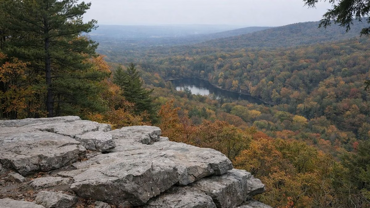
- Pole Steeple Trail: 0.75 mile, most difficult, out-and-back, blue blazes. A short, steep climb up Piney Mountain to a quartzite overlook of the whole park.
- Buck Ridge Trail: 6 miles, most difficult, point-to-point, yellow blazes. Rocky terrain to Kings Gap Environmental Education Center; small trailhead lot across from the park office.
- The Appalachian Trail beyond the park: Boiling Springs to the north and Caledonia State Park to the south are each about 20 miles away on foot.
Best Hikes by Goal
- A view: Pole Steeple, then walk back down and cool off at Laurel Lake.
- Families and strollers: the Hiker Biker Trail, past Fuller Lake on the way to Laurel Lake.
- History: the Creek Trail past the furnace raceway, plus the historic district (About).
- Shade on a hot day: Koppenhaver Trail under pines and hemlocks.
Hike Safely
DCNR's advice: wear sturdy shoes, carry water and a first aid kit, stay on the trail, keep your distance from wildlife and skip storms. Do not drink from streams or lakes without treating the water. Many parts of the park have no cell coverage, so tell someone your plan and download the trail map first.
Good For
- Beginners and families: most park trails are rated easiest and under a mile and a half.
- Backpackers: overnight AT parking in the Furnace Stack lot (Parking).
Maybe Skip If
- You want a long loop inside the park: the longest park trail is 3 miles out-and-back. Head into Michaux State Forest instead.
Hiking FAQ
How many miles of trails are at Pine Grove Furnace State Park?
About 4 miles in the park, according to DCNR, plus longer trails like Buck Ridge and the Appalachian Trail in the surrounding state forest.
What is the best hike at Pine Grove Furnace?
For a view, the 0.75-mile Pole Steeple Trail to a quartzite overlook. For an easy walk, the 3-mile Hiker Biker Trail past Fuller Lake.
Is the Hiker Biker Trail accessible?
Yes. DCNR lists it as ADA accessible and family-friendly; it is part paved and part gravel.
Can you hike the Appalachian Trail from Pine Grove Furnace?
Yes. The AT runs 1.4 miles through the park, and backpackers can park overnight in a marked section of the Furnace Stack lot. DCNR's hiking page asks section hikers to register their car at the overnight parking area; the park guide also asks backpackers to check in at the park office.