Trail Map
The official Pine Grove Furnace State Park map is a free PDF from Pennsylvania DCNR, linked from the park's Maps and Guides page. It shows every trail, lot, beach, the campground and the hunting zones. DCNR also publishes a campground map, Laurel Lake depth maps and an interactive GIS map. Download them before you go: cell service is unavailable in most of the park.
Maps at a Glance
The Official Maps
- Park map (PDF): the main map, revised February 2026. Trails by type (hiking, paved, multi-use, Appalachian Trail), parking, beaches, boat launches, pavilions, ADA facilities in blue, hunting and no-hunting areas, and 50-foot contours.
- Recreational guide (PDF): the back of the park map, with trail descriptions and park rules. Spanish versions of both exist.
- Campground map (PDF): sites and loops in the Charcoal Hearth Campground (Camping).
- Laurel Lake depth maps (PDF): color and black-and-white versions, useful for fishing.
- Interactive GIS map: driving directions and searchable amenities, no download needed.
All are on DCNR's Pine Grove Furnace "Maps and Guides" page. Orienteering maps and snowmobile trail maps are at the park office.
Trail Key
Use this with the map (Hiking has full descriptions):
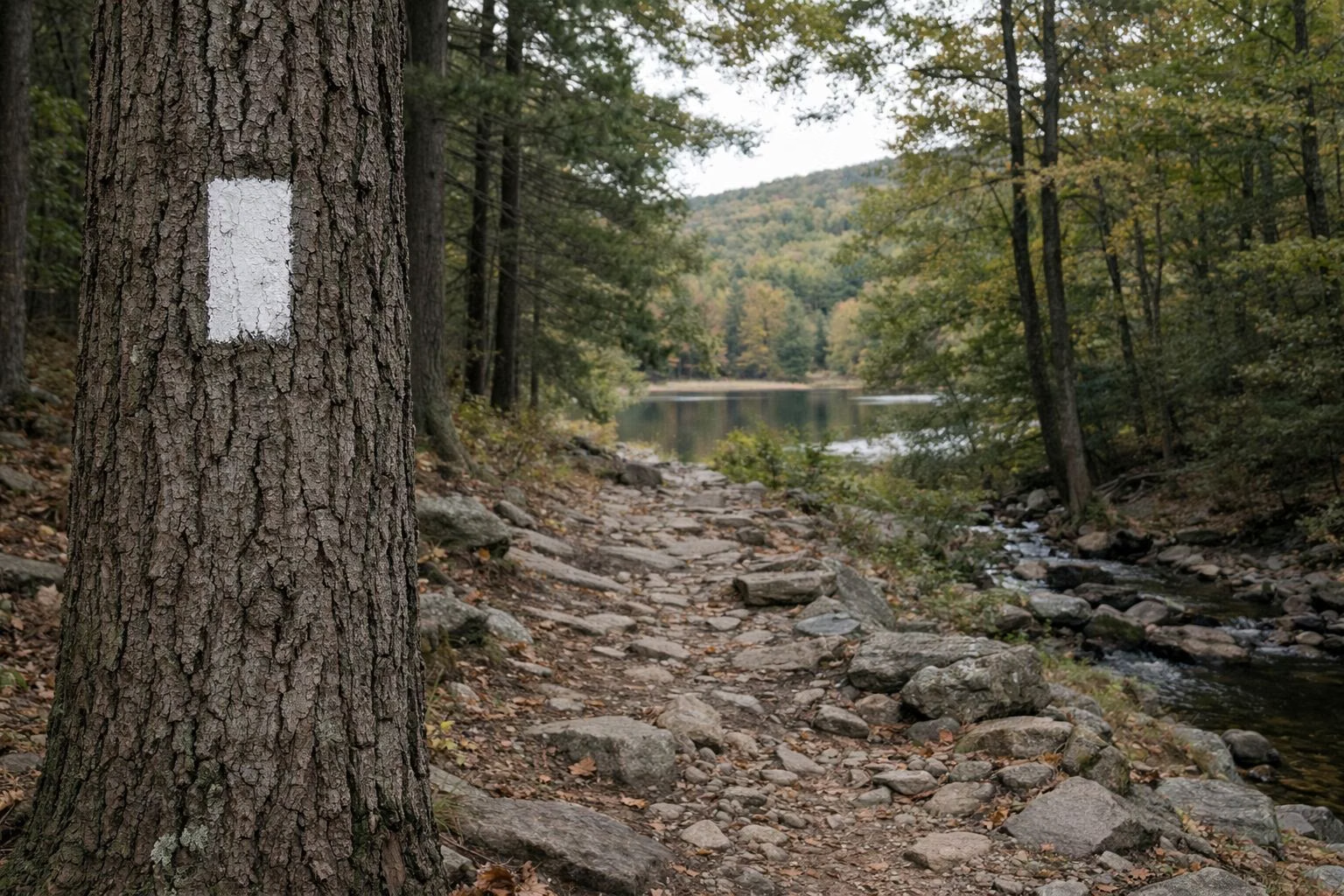
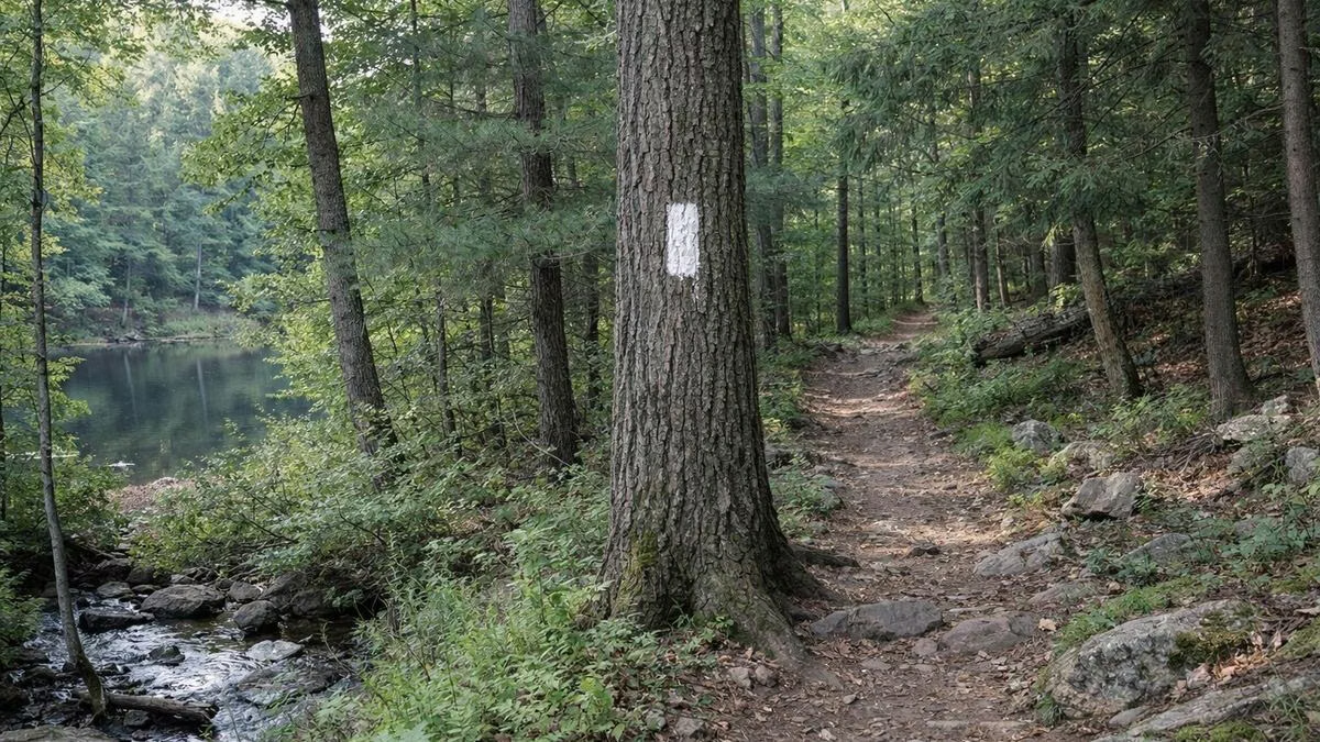
- Appalachian Trail: 1.4 miles in the park, white blazes.
- Hiker Biker Trail: 3.0 miles, no blazes, part paved.
- Mountain Creek Trail: 1.4 miles.
- Koppenhaver Trail: 1.0 mile loop, yellow blazes.
- Creek Trail: 0.5 mile, yellow blazes.
- Campground Trail: 0.33 mile.
- Brickyard Trail: 0.3 mile, yellow blazes.
- Swamp Trail: 0.25 mile loop, yellow blazes.
- Pole Steeple Trail: 0.75 mile in the state forest, blue blazes (Pole Steeple).
- Buck Ridge Trail: 6 miles in the state forest, yellow blazes.
Landmarks on the Map
- Furnace Stack area: Appalachian Trail Museum, General Store, Ironmaster's Mansion and overnight AT parking.
- Park office and Fuller Lake Day Use Area: beach, orienteering start.
- Laurel Lake Day Use Area: beach, boat rental, launch and mooring, ice skating area.
- Overlooks: Pole Steeple Overlook (in the state forest) and Sunset Rocks Overlook.
- ATV and snowmobile parking: just outside the park in Michaux State Forest (Winter).
Trail Map FAQ
Where can I get a Pine Grove Furnace State Park map?
Download the free park map PDF from DCNR's Pine Grove Furnace Maps and Guides page.
Is there a campground map for Pine Grove Furnace?
Yes. DCNR publishes a separate campground map PDF on the same Maps and Guides page.
Does the park map show the Appalachian Trail?
Yes. It marks the AT, including the section open to hiking only and the stretch shared with bicycles on the Hiker Biker Trail.