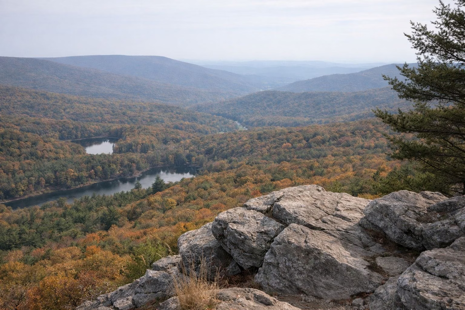
Michaux State Forest
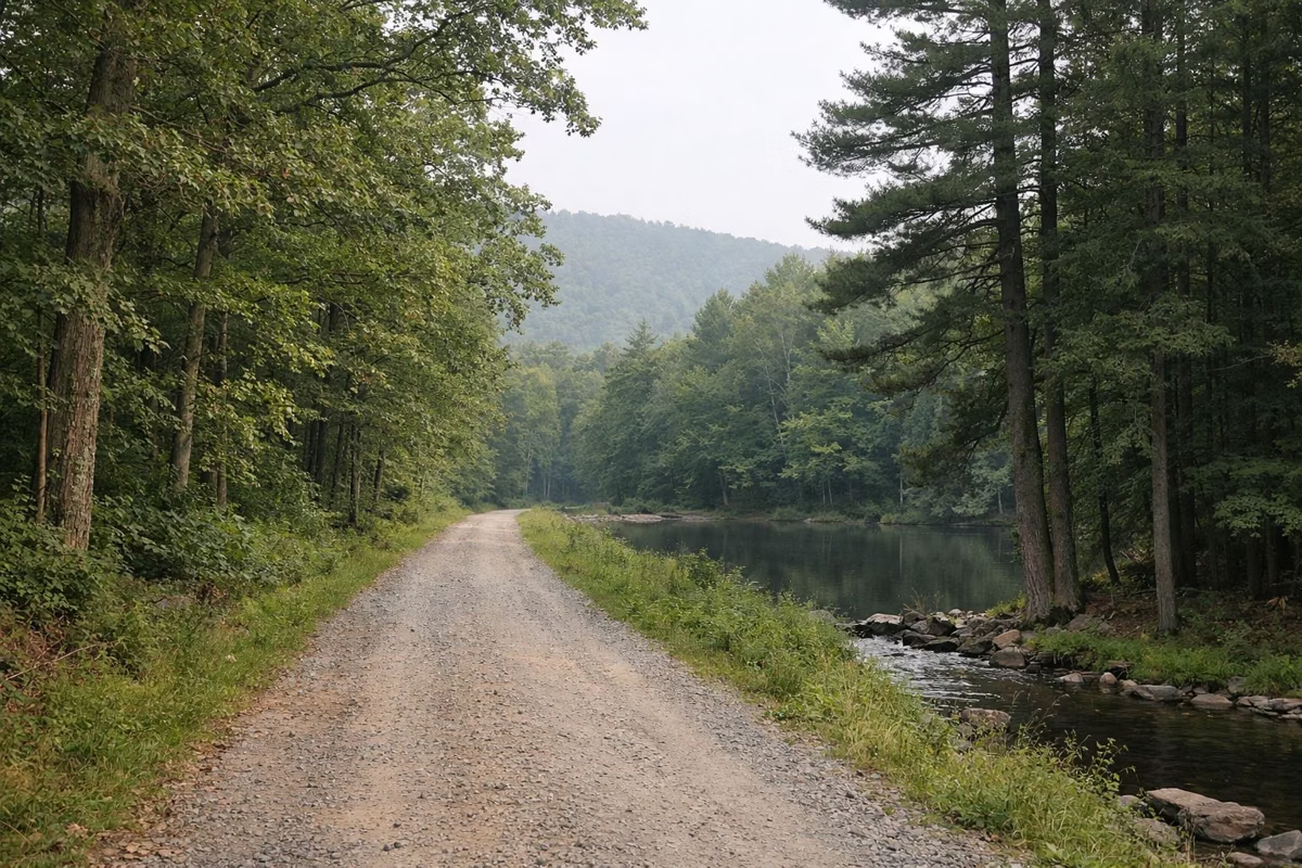
Michaux State Forest is the 85,500-acre state forest that surrounds Pine Grove Furnace State Park on South Mountain, spread across Cumberland, Franklin and Adams counties. Much of the Pine Grove Iron Works land sold to the state in 1913 became part of the forest, and part became the park. From the park you can walk straight into it on the Pole Steeple and Buck Ridge trails and the Appalachian Trail, whose true midpoint lies in the forest several miles south of the park.
Michaux at a Glance
Hikes Into Michaux From the Park
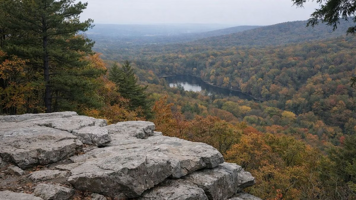
- Pole Steeple Trail: 0.75 mile, steep, to a quartzite overlook above Laurel Lake.
- Buck Ridge Trail: 6 rocky miles to Kings Gap Environmental Education Center; small trailhead lot across from the park office.
- Appalachian Trail: south toward the true halfway point and Caledonia State Park (about 20 miles), or north toward Boiling Springs (about 20 miles).
- Sunset Rocks Overlook: shown on DCNR's park map in the state forest near the park (Trail Map).
What You Can Do in the Forest
DCNR lists hiking, mountain biking, horseback riding, ATV riding, picnicking, fishing, hunting, a shooting range, golfing and camping in Michaux State Forest, and its park guide adds boating and snowmobiling. The forest office phone listed in the park guide is 717-352-2211.
Winter: Snowmobiles and ATVs
Just south of the park, a state forest trailhead has parking for vehicles and trailers and access to many miles of trails. Snowmobiles may run on designated trails and roads from the day after the last deer season in December until April 1, weather permitting; all must be registered. Trail maps are at the park office (Winter).
Camp Michaux
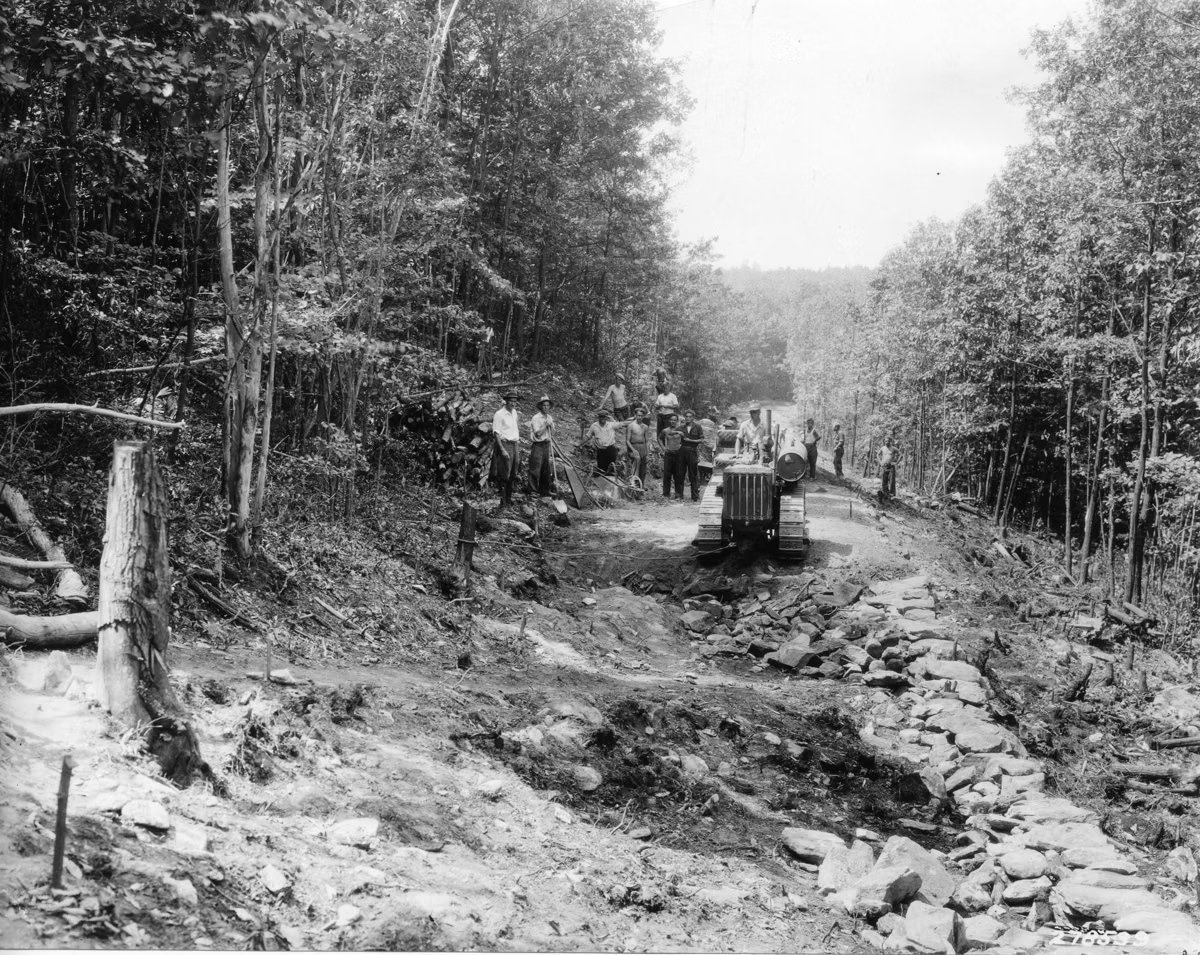
In 1933 the Civilian Conservation Corps set up Camp S-51-PA near the park, known today as Camp Michaux. CCC crews built roads, trails and facilities on South Mountain until 1941. DCNR's park map points to the Camp Michaux historic site about 0.7 mile from the park (About).
Nearby State Parks
- Kings Gap Environmental Education Center: 2,531 acres on South Mountain with more than 20 miles of trails, a permanent orienteering course, picnicking, hunting, and the Cameron-Masland Mansion for meetings and weddings.
- Caledonia State Park: camping, fishing, hiking, swimming and picnicking, south of the park.
- Mont Alto State Park: 24 acres with a distinctive pavilion, picnicking and trout fishing; DCNR calls it the oldest park still in the Pennsylvania state park system.
Cell Service Warning
DCNR says cell service is not available in most of Michaux State Forest. Download maps before you go and tell someone your route.
Michaux State Forest FAQ
How big is Michaux State Forest?
85,500 acres, according to DCNR, in Cumberland, Franklin and Adams counties.
Is Pine Grove Furnace State Park in Michaux State Forest?
No, but the 696-acre park is surrounded by it. Much of the Pine Grove Iron Works land sold to the state in 1913 became Michaux State Forest, and part became the park.
Can you ride ATVs or snowmobiles near Pine Grove Furnace?
Yes, on designated Michaux State Forest trails. A trailhead with trailer parking is just south of the park; snowmobile season runs from after the last December deer season to April 1.
Where is the halfway point of the Appalachian Trail?
DCNR says the true halfway point lies several miles south of Pine Grove Furnace State Park in Michaux State Forest.